
At Top Site our civil engineering services are built on integrity, technical accuracy, and commitment to public safety. We develop lasting client relationships through clear communication, responsive service, and collaborative problem-solving. From initial planning and feasibility through design, permitting, and construction, we deliver practical engineering solutions tailored to each project and the communities we serve. Our goal is to provide dependable infrastructure that supports responsible development and strengthens communities throughout Central and South Texas.
OUR SERVICES
Civil Engineering
Public Infrastructure
We plan and design the infrastructure and public spaces communities depend on every day. Our team combines sound engineering principles, regulatory compliance, and practical design experience to create safe, durable, and cost-effective public improvements.
-
Street & Roadway Improvements
-
Sidewalks, Trails & ADA Accessibility
-
Municipal Buildings & Public Facilities
-
Sports & Athletic Facilities
-
Parks & Recreational Facilities
-
Pavement Rehabilitation & Reconstruction
-
Utility Coordination
-
Construction Plans, Specifications & Cost Estimates
Land Development
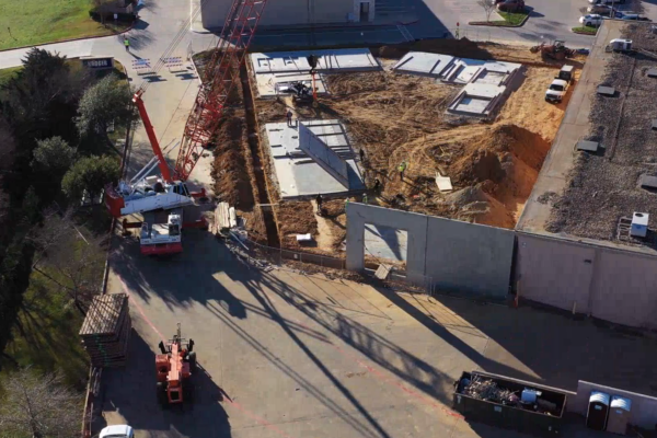
From raw land to construction-ready sites, Top Site provides comprehensive engineering support throughout the development process. We collaborate with owners, developers, architects, contractors, municipalities, and reviewing agencies to identify challenges early, streamline approvals, and develop practical solutions that meet project goals and regulatory requirements.
- Feasibility & Due Diligence
- Site Planning & Civil Site Design
- Subdivision Platting, Zoning & Annexation
- Grading, Earthwork & Stormwater Design
- Erosion & Sedimentation Control (SWPPP) Plans | Water, Wastewater & Drainage
- Water Distribution & Transmission
- Sanitary Sewer Collection, Lift Stations & Force Mains
- Storm Sewer & Drainage Infrastructure
- Floodplain Analysis & FEMA Coordination
- Hydrologic & Hydraulic Analysis
- Master Development Planning
- Single-Family Residential Development
- Multi-Family Residential Development
- Commercial, Office & Retail Development
- Industrial Development
- Permitting & Agency Coordination
Transportation & Roadway
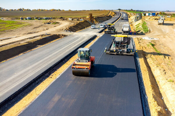
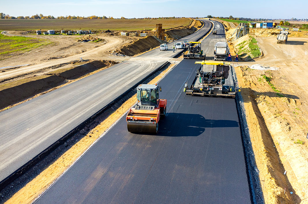
Safe and efficient transportation infrastructure connects communities and supports economic growth. Top Site provides roadway and transportation engineering services for municipal, county, state, and private-sector projects, with an emphasis on safety, constructability, regulatory compliance, and long-term performance. From preliminary planning and route evaluation through final design and construction, our team develops transportation solutions that respond to existing conditions while preparing communities for future growth
- Roadway Planning & Design
- Rural & Urban Roadway Improvements
- Roadway Rehabilitation & Reconstruction
- Route Studies & Alternative Analysis
- Schematic Design
- Horizontal & Vertical Alignment
- Intersection Design & Improvements
- Pavement Design & Rehabilitation
- Signing & Pavement Markings
- Traffic Control Plans
- Pedestrian & ADA Improvements
- Drainage & Culvert Design
- Right-of-Way Coordination
- Utility Coordination & Relocation
- TxDOT Coordination & Permitting
- Construction Plans, Specifications & Estimates
Construction Phase Services
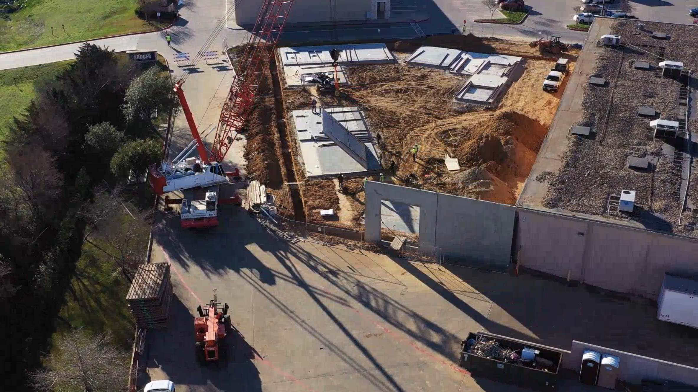
Our involvement does not have to end when the plans are complete. Top Site provides construction-phase engineering services that help owners, agencies, and contractors move projects from design into successful construction. Through responsive communication and technical coordination, we help address field conditions, clarify design intent, monitor project progress, and support informed decisions throughout construction.
- Bidding & Procurement Assistance
- Pre-Bid & Pre-Construction Meetings
- Contractor Question & RFI Coordination
- Submittal & Shop Drawing Review
- Construction Observation
- Progress Meeting Participation
- Pay Application Review
- Field Engineering Support
- Project Closeout Assistance

Land Surveying & Geospatial
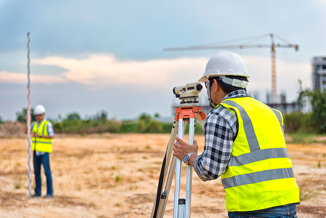
Our land surveying and geospatial services deliver the accuracy and reliability that every successful project depends on. Leveraging remote sensing, drone/UAV mapping, and cutting-edge geospatial technology, we support clients from real property acquisition through design and into construction. From boundary and topographic surveys to construction staking and as-built verification, we provide precise, high-quality data at every phase, helping turn land into lasting, well-built communities.
Conventional Surveying
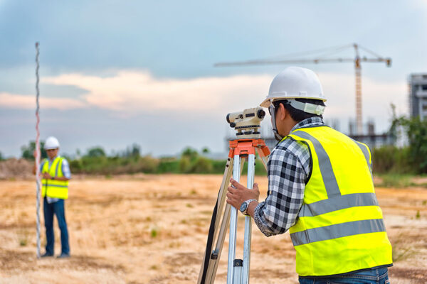
Precision starts with the fundamentals. Our conventional surveying services, including boundary, topographic, ALTA/NSPS land title, utility, and tree surveys, provide the accurate, dependable data that property owners, engineers, and developers need to move projects forward with confidence
- Geodetic Control
- Boundary Surveys
- Land Title Surveys (TSPS, ALTA, HUD)
- Topographic Surveys
- Tree Surveys
- Utility Surveys
- Construction Staking & Layout
Transportation Surveying
Roadway and Bridge projects demand accuracy at every stage. Our team provides geodetic control, right-of-way mapping, topographic, and construction staking surveys tailored to transportation infrastructure, supporting safe, well-engineered corridors and bridges from design through construction, with public safety at the forefront of every project.
- ROW Mapping
- Design Surveys
- Construction Survey
TXDOT Precertifications:
- 15.1.1 Right of ways Surveys
- 15.2.1 Design Surveys
- 15.2.2 Construction Survey
- 15.3.2. Terrestrial Photogrammetry
- 15.3.3 Terrestrial Lidar
- 15.3.4 Mobile Lidar
- 15.3.5 Horizontal and Vertical Control
- 15.3.6 Airborne Lidar
Laser Scanning
We leverage cutting-edge 3D laser scanning and sUAS (drone) technology to capture highly detailed, accurate spatial data of existing conditions. From complex structures to expansive sites and corridors, our laser scanning services give engineers and designers the precise as-built information they need to plan with confidence and reduce project risk.
- Terrestrial Laser Scanning
- sUAS Aerial LiDAR & Photogrammetry
- Mobile Terrestrial Laser Scanning

Address:
10901 International Blvd., Suite 300 Laredo, Texas 78045
Give us a Call:
956.725.5057
Address:
4242 Medical Drive, Suite 1100 San Antonio, Texas 78229
Give us a Call:
210.233.1799
Got a question?
No problem.
Fill out the brief form below and we will get back to you soon.